
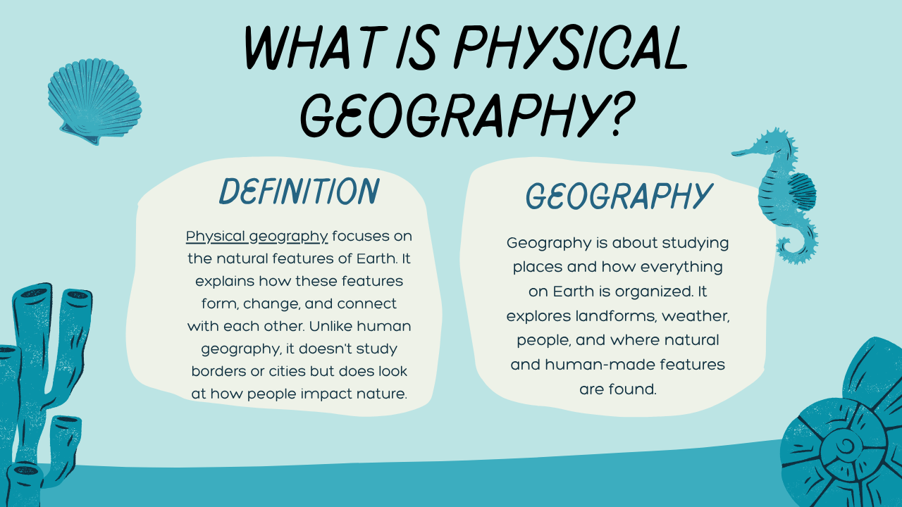
Geography is about studying places and how everything on Earth is organized. It explores landforms, weather, people, and where natural and human-made features are found.
Physical geography focuses on the natural features of Earth. It explains how these features form, change, and connect with each other. Unlike human geography, it doesn’t study borders or cities but does look at how people impact nature.
Since physical geography is a wide subject, geographers study it through six main branches: geomorphology, pedology, biogeography, hydrology, meteorology, and climatology.

Major Branches of Physical Geography
What is Physical Geography? Key Specializations Explained Simply
Physical geography helps us understand Earth’s natural features and how they change. It covers many interesting topics. Here are six important specializations in this field:
- Geomorphology – This branch studies landforms like mountains, valleys, and plains. It explores how natural forces like earthquakes, volcanoes, and erosion shape the Earth’s surface over time.
- Pedology – This is the study of soil. Scientists look at what soil is made of, how it forms, and how to protect it from erosion or damage. It’s important for farming and the environment.
- Biogeography – This field focuses on where plants and animals live. It helps us understand ecosystems, animal migration, and how nature changes over time.
- Hydrology – Hydrology looks at water in all its forms—rivers, lakes, oceans, and even underground water. It also studies how water moves and affects the land.
- Meteorology – While it’s a separate science, meteorology often overlaps with physical geography. It studies daily weather like rain, wind, and storms.
- Climatology – Climatology is about long-term weather patterns. It helps us understand climate change, rainfall, and temperature trends around the world.
These specializations all help answer the question: What is physical geography, and why is it important to study Earth’s natural systems?
The Journey of Physical Geography Through History
Physical geography has deep roots, dating back to the classical Greek period when geography was primarily seen as a natural science. Early pioneers like Strabo, Eratosthenes, and Dionysius Periegetes focused on describing the known world. By the 16th century, works like Martín Fernández de Enciso’s “Summa de Geografía” marked a turning point by introducing the concept of the New World.
In the 18th and 19th centuries, debates between James Hutton’s uniformitarianism and Georges Cuvier’s catastrophism shaped geography’s evolution. During this time, Alexander von Humboldt’s “Kosmos” highlighted geography as a natural science.
The 19th-century colonial expansion and the Industrial Revolution further transformed geography, leading to the establishment of university geography departments and national geographic societies, making geography an institutionalized discipline.
The exploration of Siberia in the mid-18th century played a key role in the growth of physical geography. Russian geographer Mikhail Lomonosov, often called the “father of Russian geography,” led many significant studies during this time. While working at the Department of Geography, Academy of Sciences, he explored Arctic Siberia, proved the organic origin of soil, and formulated a law on ice movement, which laid the foundation for glaciology. In 1755, Lomonosov established Moscow University, where he promoted geography education, and by 1758, as director of the Academy’s Department of Geography, he organized major surveys and expeditions.
Lomonosov’s students further expanded Russian geography in the 19th century. Vasily Dokuchaev introduced the concept of soil as a separate geographic element, creating pedology. At the same time, Wladimir Köppen developed the famous climate classification system, still used globally, and pioneered palaeoclimatology through his research on ancient climates. Other notable contributors included NM Sibirtsev, Pyotr Semyonov, and K.D. Glinka.
For more insights on glaciology and Köppen climate classification, you can explore these detailed resources.
In the late 19th and early 20th centuries, William Morris Davis, often called the “Father of American Geography,” transformed physical geography with his cycle of erosion theory. Davis proposed that mountains and landscapes evolve through a natural cycle: they begin with uplift caused by tectonic forces (youth stage), followed by erosion that carves deep V-shaped valleys (maturity stage), and eventually flatten into peneplains or “almost plains” (senescence stage). Over time, rivers rejuvenate, and the cycle begins again.
While modern science has shown that Davis’s theory isn’t fully accurate, it was groundbreaking for its time. It laid the foundation for geomorphology, a new subfield of physical geography dedicated to studying landforms and their evolution. His work also influenced other disciplines like paleogeography, hydrology, and climatology by providing a framework for understanding landscape changes over time. His students, including Curtis Marbut and Mark Jefferson, expanded his ideas into areas like pedology and landform mapping.
In the late 19th and early 20th centuries, William Morris Davis, often called the “Father of American Geography,” transformed physical geography with his cycle of erosion theory. Davis proposed that mountains and landscapes evolve through a natural cycle: they begin with uplift caused by tectonic forces (youth stage), followed by erosion that carves deep V-shaped valleys (maturity stage), and eventually flatten into peneplains or “almost plains” (senescence stage). Over time, rivers rejuvenate, and the cycle begins again.
While modern science has shown that Davis’s theory isn’t fully accurate, it was groundbreaking for its time. It laid the foundation for geomorphology, a new subfield of physical geography dedicated to studying landforms and their evolution. His work also influenced other disciplines like palaeogeography, hydrology, and climatology by providing a framework for understanding landscape changes over time. His students, including Curtis Marbut and Mark Jefferson, expanded his ideas into areas like pedology and landform mapping.
Stages of Davis’s Cycle of Erosion
| Stage | Key Features | Landform Example |
|---|---|---|
| Youth | Uplifted mountains, steep slopes, V-shaped valleys | The Himalayas (early stage) |
| Maturity | Valleys widen, rivers start meandering | Appalachian Mountains (middle) |
| Senescence | Flat plains (peneplain), minimal elevation | Old eroded surfaces, e.g., plains in Africa |
Interesting Fact: William Morris Davis’s cycle theory was so influential that it became the first global model of landscape evolution, inspiring geographers for decades.
FAQs About Physical Geography
1. What is the definition of physical geography?
Physical geography is a branch of geography that focuses on the natural features of the Earth, such as mountains, rivers, oceans, climate, and ecosystems.
2. What is an example of physical geography?
An example of physical geography is the study of the Himalayan Mountains, including their formation, glaciers, and surrounding climate.
3. What is physical geography for kids?
Physical geography for kids means learning about nature’s features like hills, forests, weather, and how the land and water on Earth are formed and change over time.
4. What is geography in simple words?
Geography is the study of the Earth, including land, water, weather, people, and how everything is arranged on the planet.
5. What is physical and human geography?
Physical geography studies natural features like mountains and rivers, while human geography looks at people, cultures, cities, and how humans interact with the environment.
6. Who is the father of geography?
The ancient Greek scholar Eratosthenes is widely regarded as the father of geography for his contributions to mapping the Earth.
7. Who first named geography?
The term “geography” was first used by Eratosthenes, who combined the Greek words geo (Earth) and graphia (writing or description).
8. Who is the father of history?
The Greek historian Herodotus is often called the father of history due to his early work on recording historical events.
9. Who is known as the father of Earth?
In Greek mythology, Gaia (Mother Earth) is considered the personification and “mother” of the Earth.
10. Who is the father of history?
Herodotus, an ancient Greek historian, is called the “Father of History” because he recorded historical events in detail and analysed their causes.
11. Who is known as the father of Earth?
There is no single “father of Earth,” but James Hutton, who introduced the theory of uniformitarianism, is often called the “Father of Modern Geology.”
12. What is an example of physical geography?
Studying the formation of mountains, rivers, deserts, or climates like the Amazon rainforest is an example of physical geography.
13. What is physical geography for kids?
Physical geography for kids means learning about Earth’s natural features like mountains, oceans, weather, and how nature shapes the planet.
14. What is geography in simple words?
Geography is the study of the Earth, its land, water, air, and the people and animals that live on it.
15. What is physical and human geography?
Physical geography studies natural features like landforms and weather, while human geography looks at human activities, cities, and cultures.
16. Who is the father of geography?
Eratosthenes is known as the “Father of Geography” for his early maps and measurement of Earth’s size.
17. Who first named geography?
The term “geography” was first used by the Greek scholar Eratosthenes in the 3rd century BCE.
18. What is geography, and its importance?
Geography is important because it helps us understand the Earth, how people interact with it, and how natural and human activities shape our world.
19. What is a good sentence for geography?
“Geography helps us learn about different places, their land, weather, and people.”